

Phyto-Mapping Masterclass (Remote Sensing for Advanced Crop Monitoring)
Advanced crop health analytics, multispectral imaging, vegetation index modeling (NDVI/NDRE), irrigation planning, and high-throughput phenotyping.
1 Week
Hybrid (Intensive Workshop & Practical Field Surveys)
₦250,000
PFA Advanced Phyto-Mapping & Crop Analytics Masterclass Certificate
Phyto-Mapping Masterclass (Remote Sensing for Advanced Crop Monitoring)
Programme Overview
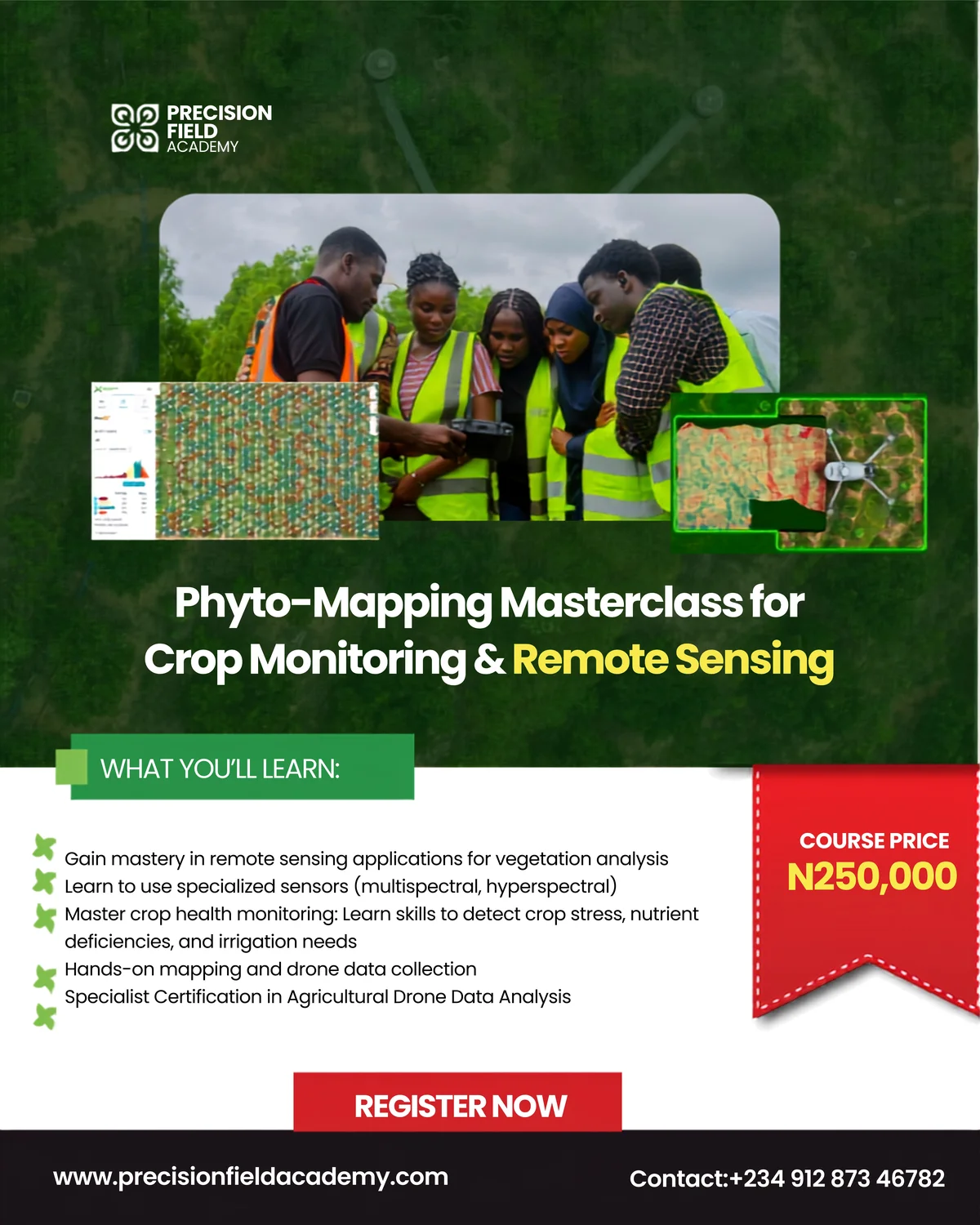
Designed specifically for agricultural scientists, agronomists, and precision farming practitioners, the Phyto-Mapping Masterclass bridges drone imaging and deep agronomic science. Learn to capture and calibrate multispectral and hyperspectral sensor data, compute vegetation indices to detect invisible crop stress weeks before the human eye can, calculate canopy cover, model water stress, and generate precision zone maps.
Course Highlights
What You Will Learn
Module 1: Principles of Agricultural Remote Sensing
- Electromagnetic spectrum and optical properties of plant leaves
- Chlorophyll absorption bands, red edge reflectance, and cellular scattering
- Sensor types: RGB, Multispectral, Hyperspectral, and Thermal Infrared
Module 2: Mission Planning & Multispectral Data Capture
- Sun angle, cloud shadows, and ambient light compensation
- Flight altitude, overlap percentages, and ground sampling distance (GSD)
- Radiometric calibration procedures using downwelling light sensors
Module 3: Orthomosaic & Vegetation Index Processing
- Photogrammetric stitching of multiband imagery in specialized software
- Calculating NDVI, NDRE, VARI, and thermal water stress indexes (CWSI)
- Zonal statistics, canopy height models (CHM), and plant stand counts
Module 4: Agronomic Prescription & Real-World Decision Support
- Differentiating nutrient deficiency, disease outbreak, and water stress
- Generating variable-rate application (VRA) shapefiles for tractors and drones
- Synthesizing technical agronomic reports for farm executive boards
Who Is This Programme For?
This curriculum is engineered for professionals and learners seeking practical, applied competence:
Learning Outcomes & Career Advantage
Tuition / Rate
₦250,000
Want a self paced course?
Take a certified course on our LMS.
Related Programmes & Pathways
Expand your capabilities across complementary AgriTech disciplines.
Precision Agriculture & Innovation Programme (PAIP)
Developing the next generation of agricultural technology talent through a comprehensive, practical, and multi-disciplinary talent-development initiative.
Basic Drone Pilot Competency Course for Precision Agriculture
Equips participants with essential skills for Drone Piloting and its use-cases, covering flight principles, hands-on maneuvers, and safety compliance.
UK A2 Certificate of Competency (A2 CofC) Course
Develop the rigorous knowledge required for the UK CAA A2 Certificate of Competency pathway for professional drone operations.