
Spatial Analysis with ArcGIS Pro
Unlock advanced spatial modeling, geoprocessing automation, spatial statistics, raster change detection, machine learning image classification, and surface interpolation.
10 Working Days + 1 Week Capstone
Virtual only
₦300,000
PFA Advanced Spatial Analyst Certificate of Competency
Spatial Analysis with ArcGIS Pro
Programme Overview
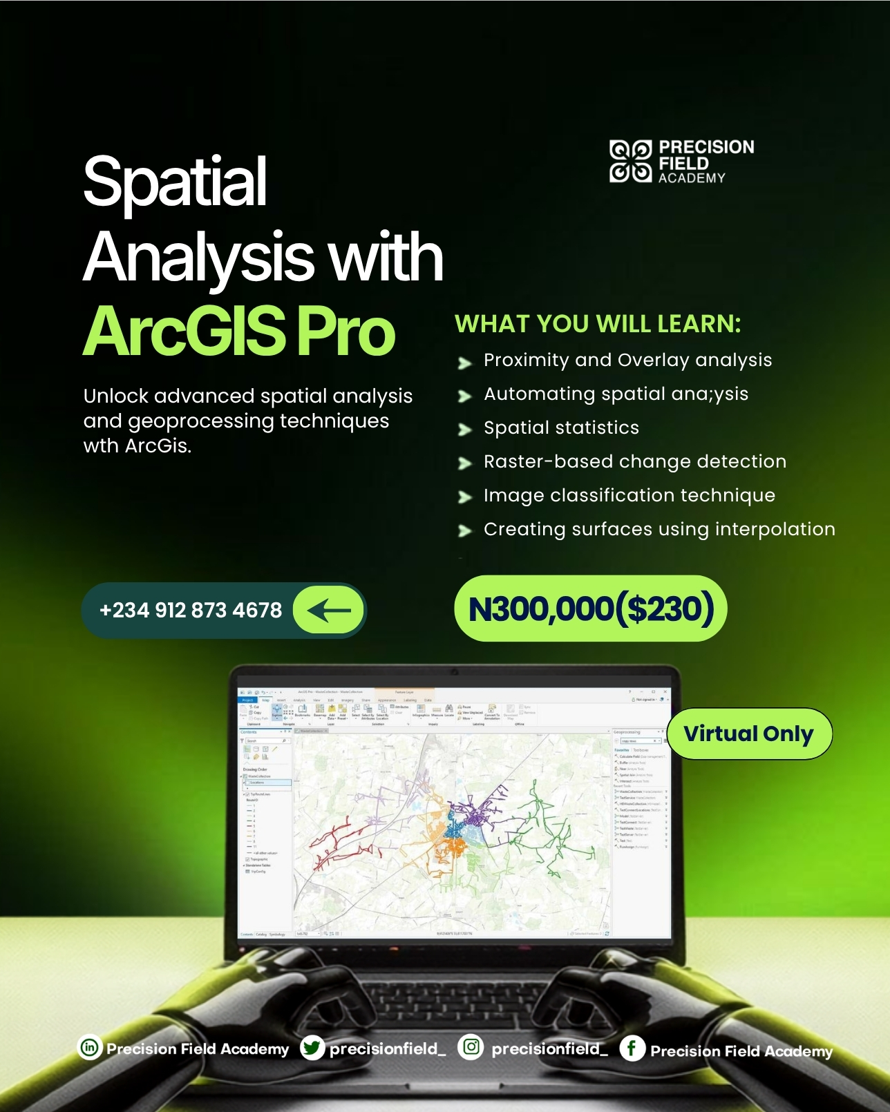
Spatial Analysis with ArcGIS Pro equips analysts, agronomists, and researchers with advanced analytical capabilities. Go beyond basic mapping to uncover hidden patterns, forecast crop yield variations, perform land suitability modeling, automate workflows with ModelBuilder and Python, and classify multi-spectral remote sensing imagery using machine learning algorithms.
Course Highlights
What You Will Learn
Module 1: Advanced Analytical Foundations
- The spatial problem-solving framework and hypothesis formulation
- Configuring raster and vector geoprocessing analysis environments
- Understanding spatial resolution, cell size alignment, and snap rasters
Module 2: Proximity & Distance Modeling
- Euclidean distance, direction, and allocation surfaces
- Cost distance, least-cost pathway modeling for agricultural corridors
- Multi-ring buffer zones and service area delineations
Module 3: Advanced Spatial Overlay & Fuzzy Logic
- Weighted overlay vs weighted sum techniques
- Applying fuzzy logic and continuous membership functions
- Combining physical, soil, and meteorological layers for decision models
Module 4: Automating Workflows with ModelBuilder
- Designing automated geoprocessing workflows with ModelBuilder
- Using model variables, preconditions, and iterators (batch processing)
- Exporting visual models to Python (arcpy) automation scripts
Module 5: Spatial Interpolation & Surface Modeling
- Deterministic methods: Inverse Distance Weighted (IDW) and Spline
- Geostatistical methods: Semivariogram modeling and Ordinary Kriging
- Generating soil nutrient (N-P-K) and moisture gradient surfaces from field samples
Module 6: Spatial Statistics & Pattern Analysis
- Testing spatial randomness with Global Moran's I autocorrelation
- Hot Spot Analysis (Getis-Ord Gi*) for disease and pest infestation mapping
- Anselin Local Moran's I for cluster and outlier identification
Module 7: Multi-Criteria Land & Crop Suitability Modeling
- Establishing evaluation criteria and standardized scoring scales
- Weighting factors using Analytical Hierarchy Process (AHP)
- Producing commercial crop suitability zone maps for irrigation planning
Module 8: Raster Differencing & Change Detection
- Multi-temporal raster alignment and radiometric normalization
- Vegetation index differencing (NDVI delta) to detect crop degradation
- Computing volume change, biomass shifts, and canopy growth rates
Module 9: Principles of Satellite & Drone Image Classification
- Spectral signatures of soil, water, healthy vegetation, and stressed crops
- Unsupervised classification using ISO Cluster techniques
- Collecting, evaluating, and managing representative training samples
Module 10: Machine Learning Classification Workflows
- Executing Random Forest (Trees) and Support Vector Machine (SVM) classifiers
- Maximum Likelihood classification for multispectral drone imagery
- Segmenting imagery with Object-Based Image Analysis (OBIA)
Module 11: Classifier Accuracy Assessment & Validation
- Creating stratified random ground-truth validation points
- Generating and interpreting confusion matrices and overall accuracy
- Calculating Kappa coefficients and post-classification boundary smoothing
Module 12: Advanced Capstone Project
- Executing an end-to-end commercial agricultural suitability or crop damage audit
- Synthesizing results into executive technical reports and web GIS summaries
- Presenting capstone findings to industry panel review
Who Is This Programme For?
This curriculum is engineered for professionals and learners seeking practical, applied competence:
Learning Outcomes & Career Advantage
Tuition / Rate
₦300,000
Spatial Analysis with ArcGIS Pro
Want a self paced course?
Take a certified course on our LMS.
Related Programmes & Pathways
Expand your capabilities across complementary AgriTech disciplines.
Precision Agriculture & Innovation Programme (PAIP)
Developing the next generation of agricultural technology talent through a comprehensive, practical, and multi-disciplinary talent-development initiative.
Basic Drone Pilot Competency Course for Precision Agriculture
Equips participants with essential skills for Drone Piloting and its use-cases, covering flight principles, hands-on maneuvers, and safety compliance.
UK A2 Certificate of Competency (A2 CofC) Course
Develop the rigorous knowledge required for the UK CAA A2 Certificate of Competency pathway for professional drone operations.