
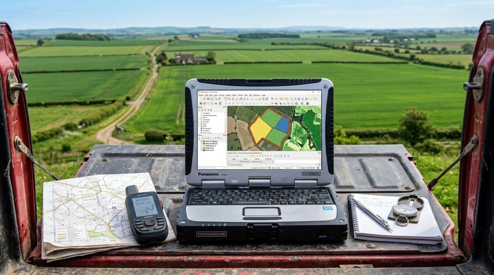
Basic GIS Course for Agriculture & Spatial Applications
Build foundational GIS capabilities: spatial data collection, coordinate systems, satellite imagery integration, and data-driven farm decision-making.
6 Weeks
Online & Hybrid Options
Free
PFA Foundational GIS & Geospatial Analysis Certificate
Basic GIS Course for Agriculture & Spatial Applications
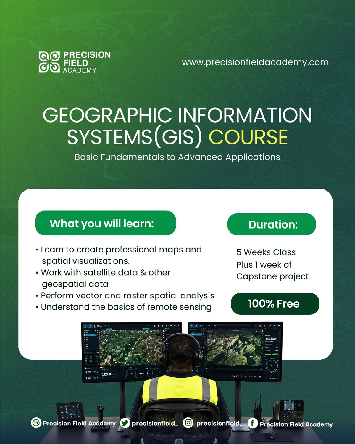
Programme Overview
Geographic Information Systems (GIS) provide the structural backbone for precision farming, land administration, and natural resource management. This course introduces learners to modern open-source and commercial GIS software (QGIS, ArcGIS). Discover how to import GPS data, manage vector and raster layers, perform spatial queries, analyze topography, and design presentation-ready maps for farm management.
Course Highlights
What You Will Learn
Module 1: Fundamentals of Spatial Data & Coordinate Systems
- Vector data (points, lines, polygons) vs Raster data (pixels, grids)
- Datums, projections, and Coordinate Reference Systems (WGS84, UTM)
- Setting up QGIS workspace and managing geospatial file formats
Module 2: Spatial Data Acquisition & GPS Integration
- Collecting spatial points with handheld GPS and mobile data tools (ODK/Kobo)
- Downloading and filtering free multispectral satellite data
- Georeferencing scanned farm sketches and historical aerial maps
Module 3: Spatial Queries, Analysis & Vector Operations
- Attribute table management, queries, and spatial joining
- Buffer analysis, clipping, union, and polygon area calculations
- Digital Elevation Models (DEM): calculating slope, aspect, and water runoff paths
Module 4: Cartographic Design & Report Presentation
- Symbology, graduated color scales, and thematic classification
- Creating professional print layouts with legends, scale bars, and north arrows
- Exporting spatial datasets for drone controllers and web GIS dashboards
Who Is This Programme For?
This curriculum is engineered for professionals and learners seeking practical, applied competence:
Learning Outcomes & Career Advantage
Tuition / Rate
Free
Want a self paced course?
Take a certified course on our LMS.
Related Programmes & Pathways
Expand your capabilities across complementary AgriTech disciplines.
Precision Agriculture & Innovation Programme (PAIP)
Developing the next generation of agricultural technology talent through a comprehensive, practical, and multi-disciplinary talent-development initiative.
Basic Drone Pilot Competency Course for Precision Agriculture
Equips participants with essential skills for Drone Piloting and its use-cases, covering flight principles, hands-on maneuvers, and safety compliance.
UK A2 Certificate of Competency (A2 CofC) Course
Develop the rigorous knowledge required for the UK CAA A2 Certificate of Competency pathway for professional drone operations.