
The GIS Professional Pathway:
From Spatial Data to Agri-Intelligence.
Step beyond foundational mapping. Master industry-grade ArcGIS Pro workflows, predictive spatial analysis, automated geoprocessing, mobile field operations, and drone-based phyto-mapping in hands-on, credentialed programmes.
4
Specialized Courses
Foundations to Advanced AI
5%
Alumni Discount
With Basic GIS Certificate
Applied
Industry Standard
Real Datasets & Workflows
1:1
Mentor Support
Commercial Capstone Review
Engineered for Spatial & Agricultural Professionals
Whether upgrading from QGIS, mastering commercial ArcGIS Pro, or deploying field inspection apps, this pathway is tailored for real-world impact.
Agronomists & Farm Leads
Transition from manual record-keeping to digital parcel boundaries, elevation drainage modeling, and variable-rate crop health maps.
GIS Analysts & Surveyors
Master enterprise Esri workflows, multi-criteria land suitability analysis, Python automation, and high-accuracy GNSS field sync.
Drone & Remote Sensing Teams
Process multispectral imagery into vegetation indices (NDVI, NDRE), identify crop stress weeks early, and build prescription maps.
Basic GIS Alumni & Switchers
Already completed the Basic GIS course? Take the logical next step into commercial ArcGIS Pro and enjoy an exclusive 5% alumni discount.
Select Your Course in the Pathway
Enroll individually in any course that matches your immediate career goals, or progress systematically through the full GIS pathway.
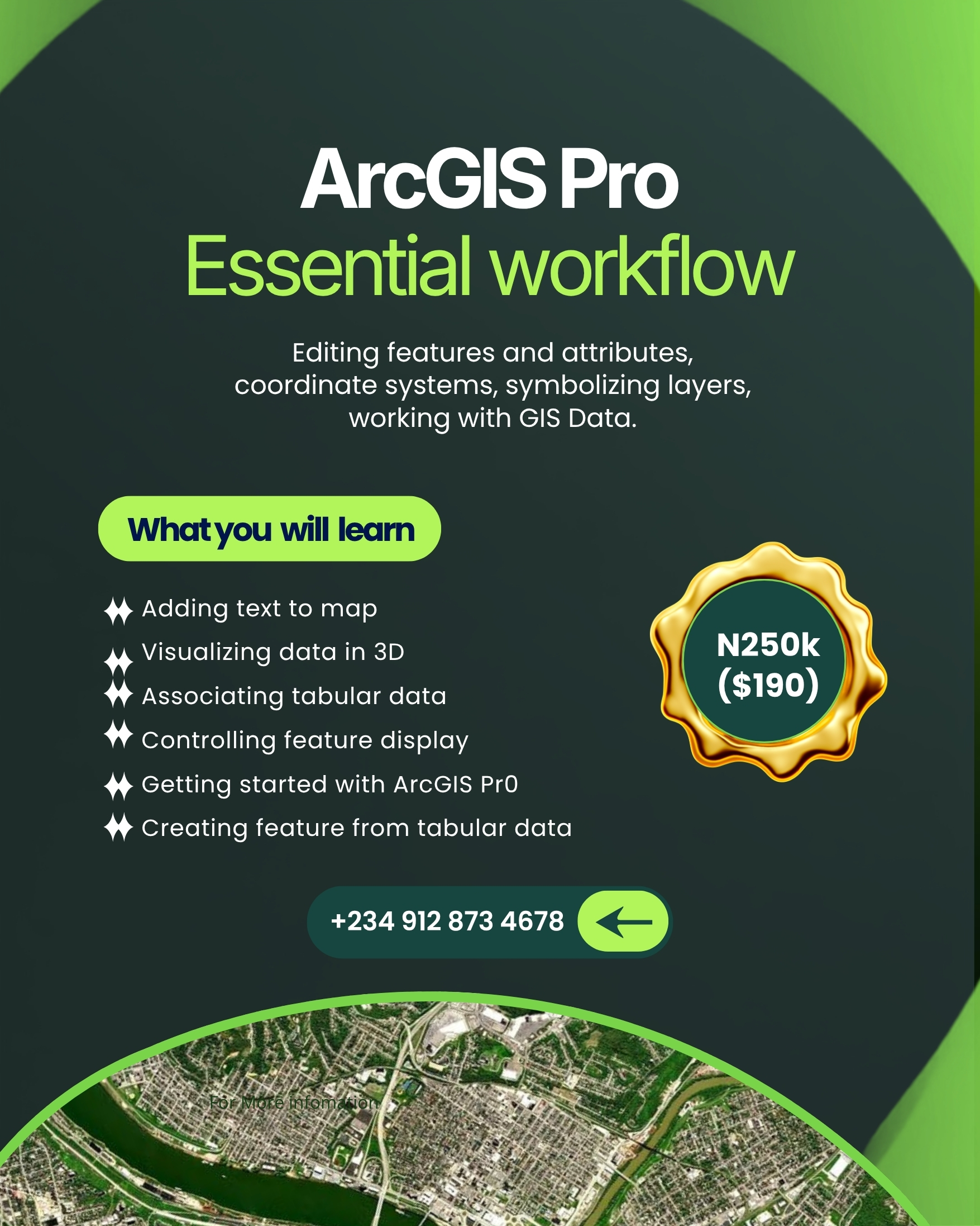
ArcGIS Pro Essential Workflow
Build rock-solid competence in modern Esri GIS workflows: coordinate reference systems, layer symbology, 3D visualization, editing, and spatial data structuring.
Key Competencies & Practical Syllabus:
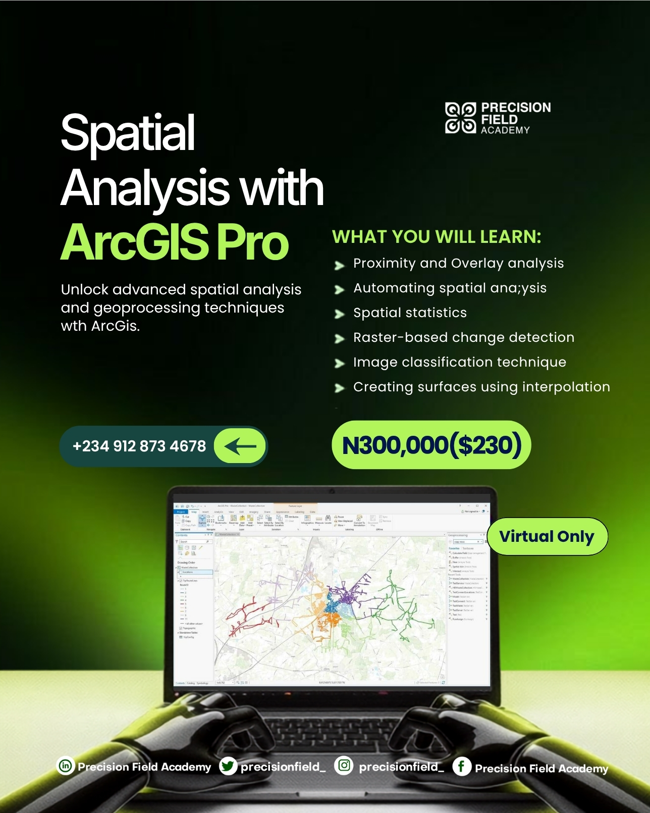
Spatial Analysis with ArcGIS Pro
Unlock high-impact predictive spatial modeling, geoprocessing automation, spatial statistics, raster change detection, machine learning classification, and surface interpolation.
Key Competencies & Practical Syllabus:
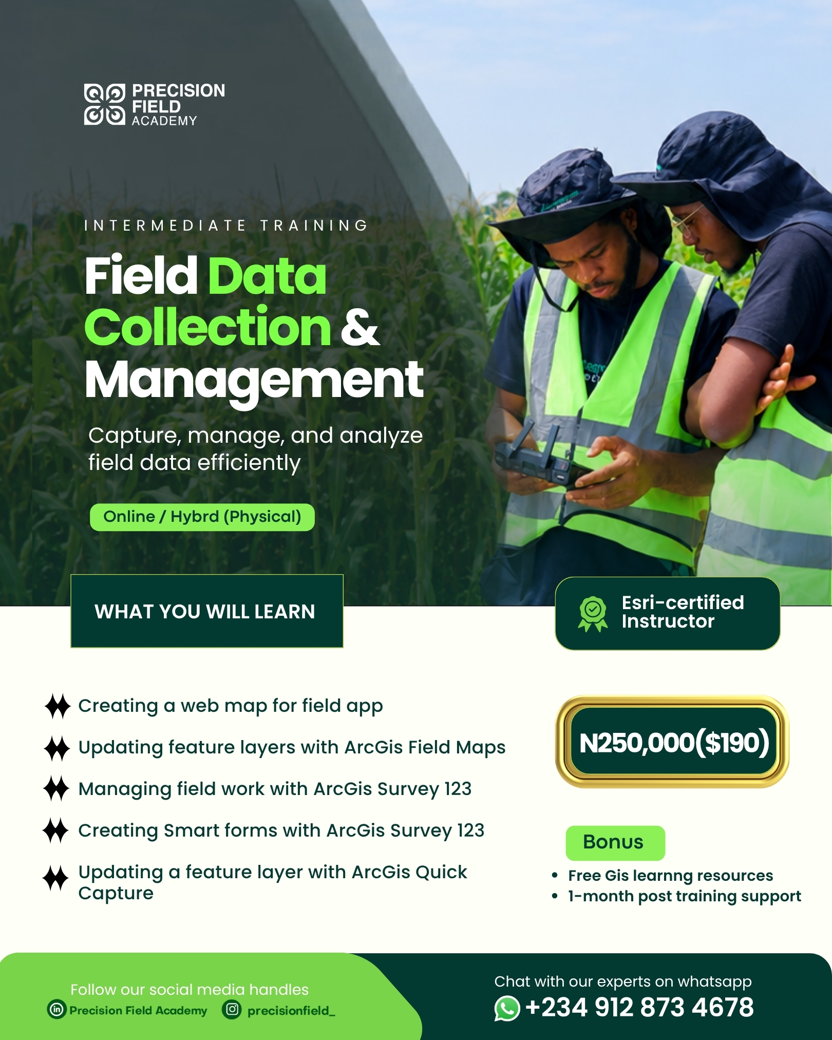
Field Data Collection & Management
Capture, synchronize, and monitor ground truth data with ArcGIS Field Maps, Survey123 smart forms, QuickCapture rapid patrols, and live executive command dashboards.
Key Competencies & Practical Syllabus:
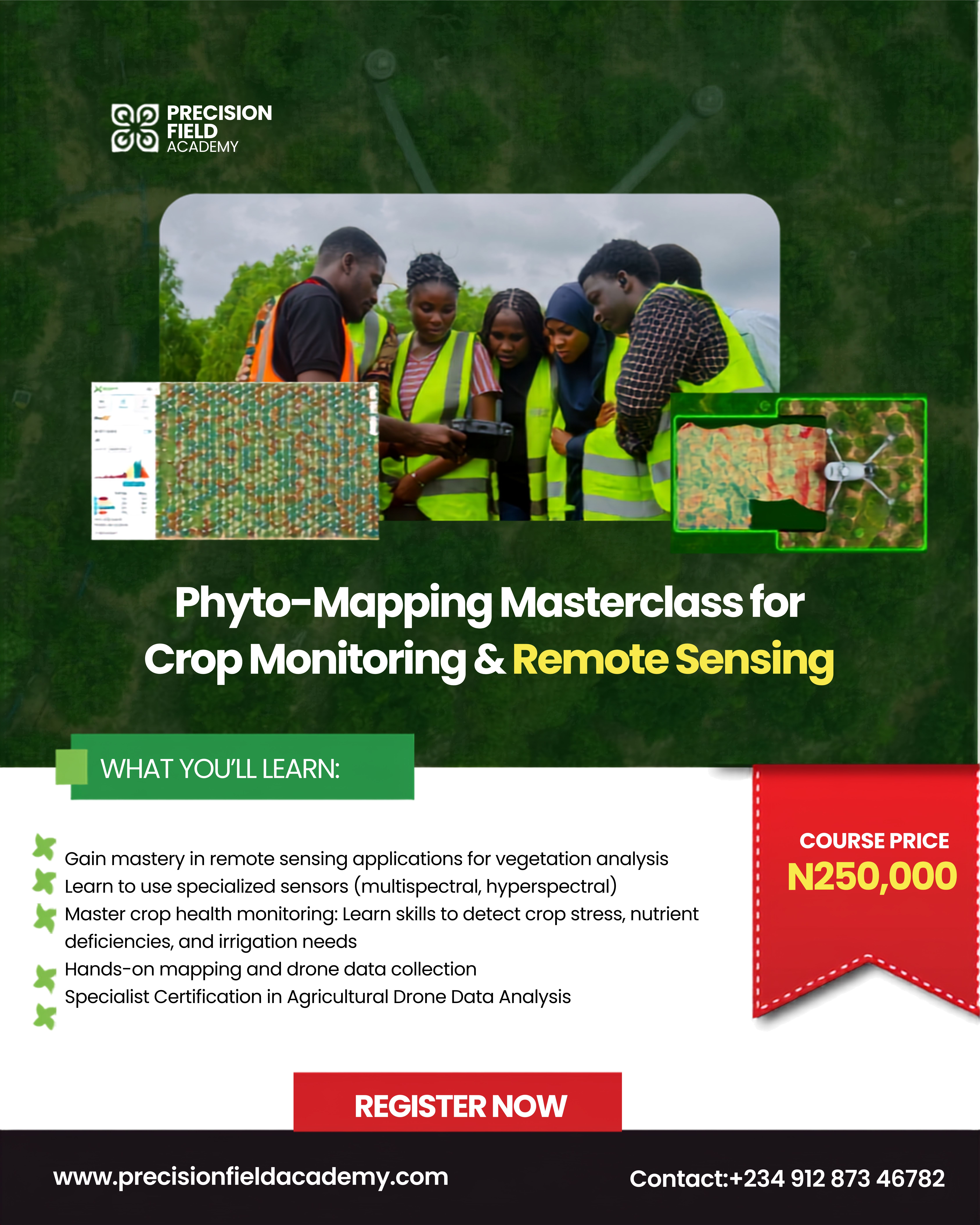
Phyto-Mapping Masterclass for Crop Monitoring & Remote Sensing
Bridge drone remote sensing and deep agronomic science. Calibrate multispectral imaging, compute NDVI/NDRE stress indices, and generate variable-rate prescriptions.
Key Competencies & Practical Syllabus:
Every Programme Includes Industry-Grade Value
We do not teach abstract theory. Each course is engineered around real commercial work, software licensing, and post-training mentorship.
ArcGIS Pro Licenses Included
Receive guided student access to ArcGIS Pro and advanced spatial analyst extensions for the duration of your training so you can practice on real datasets.
Verified Career Credentials
Earn verifiable digital certifications from Precision Field Academy, demonstrating practical competency across industry-standard geospatial software.
1:1 Mentorship & Office Hours
Direct weekly office hours with certified instructors. Get your capstone projects, geoprocessing models, and portfolios reviewed by senior leads.
Commercial Capstone Projects
Build real-world deliverables: multi-criteria crop zoning, offline field scout surveys, or drone vegetation stress reports ready for client presentation.
5% Basic GIS Alumni Discount
We reward commitment. Paid PFA Basic GIS certificates are checked against the IAP registry before 5% is deducted from any Advanced pathway course.
1-Month Post-Training Support
Access the private PFA GIS community channel and get 30 days of troubleshooting support as you apply your new skills to client and workplace projects.
Learn Directly from Certified Industry Practitioners
Our faculty combines practical enterprise geospatial expertise with hundreds of hectares of live agricultural drone mapping and field deployments.

Ajayi Feranmi
GIS & Remote Sensing Instructor
Specialist in spatial database modeling, cartographic automation with Python, and satellite imagery classification across agricultural and environmental domains.

Femi Adekoya
Vision Lead & Drone Operations Director
Widely known as "The Flying Farmer," Femi pioneers agricultural drone flight, multispectral sensor calibration, and precision crop intelligence across Africa.
How Your Enrollment Works
From instant checkout to your first live class session in minutes.
Select & Register
Choose your course, enter your student details, and verify your Basic GIS certificate number to unlock the 5% alumni discount.
Secure Flutterwave Checkout
Pay the locked tuition using your preferred payment method: debit card, bank transfer, or USSD via 256-bit encrypted checkout.
Instant Hub Access
Get an instant on-screen receipt, confirmation email, cohort WhatsApp community link, and software installation setup guides.
Frequently Asked Questions
Everything you need to know about enrollment, software licenses, and schedules.
Encountering payment issues or need alternative payment assistance?
Email info@iaprecision.com or call/WhatsApp +234 912 873 4678
Ready to elevate your geospatial and precision agriculture career?
Join the upcoming cohort. Seats are limited to guarantee hands-on mentor engagement.
For payment issues or cohort questions, email info@iaprecision.com or call/WhatsApp +234 912 873 4678