
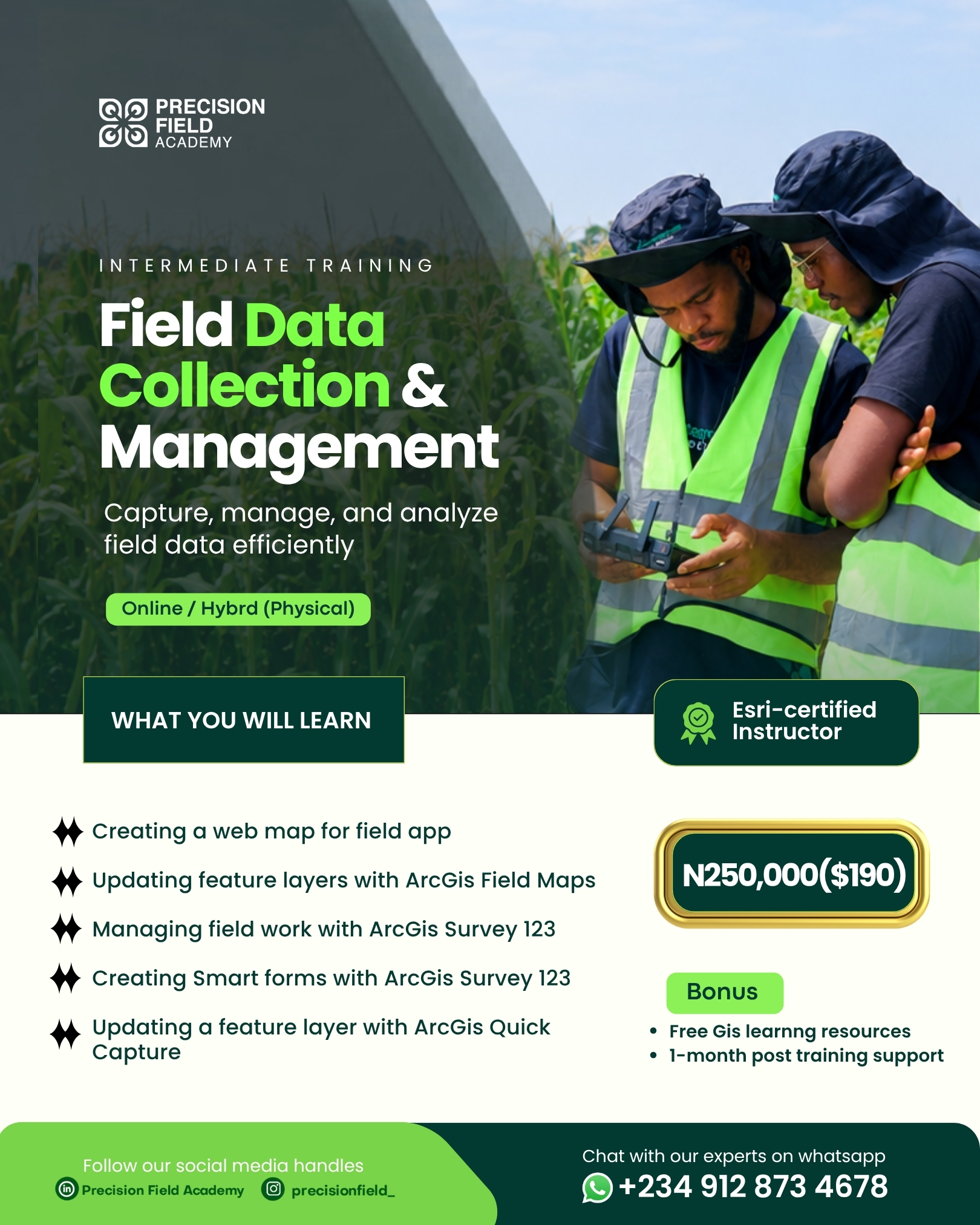
Field Data Collection & Management
Capture, synchronize, and monitor ground truth data with ArcGIS Field Maps, Survey123 smart forms, ArcGIS QuickCapture, and real-time operational executive dashboards.
2 Weeks
Online / Hybrid
₦250,000
PFA Field GIS & Mobile Operations Specialist Certificate
Field Data Collection & Management
Programme Overview
Field Data Collection & Management teaches end-to-end field operations architecture for modern agriculture, environmental inspection, and infrastructure surveys. Master how to design robust database schemas, configure cloud-hosted web maps for offline tablet use, build intelligent logic-driven forms in Survey123, execute rapid vehicle patrols with QuickCapture, and stream real-time operational metrics directly into executive web dashboards.
Course Highlights
What You Will Learn
Module 1: Preparing Data Schemas for Field Apps
- Designing feature layer schemas, fields, and geometry constraints
- Creating coded value domains and subtype dictionaries for error-free entry
- Setting up contingent values for cascading field menus
Module 2: Cloud Publishing & Feature Layer Configuration
- Publishing hosted feature layers to ArcGIS Online / Enterprise
- Enabling editor tracking, attachments, and sync capabilities
- Configuring role-based access permissions and feature layer views
Module 3: Authoring Web Maps for Mobile Field Workers
- Configuring symbology optimized for outdoor mobile screens
- Designing informative, field-friendly pop-ups with Arcade formatting
- Packaging pre-planned offline map areas for disconnected operations
Module 4: Field Maps Deployment & High-Accuracy GNSS
- Connecting external RTK / GNSS receivers via Bluetooth
- Capturing 95% confidence GPS metadata (horizontal accuracy, fix type, PDOP)
- Inspecting, editing, and syncing spatial records in real time
Module 5: Workforce Management & Field Dispatch
- Setting up ArcGIS Workforce projects and dispatch assignments
- Assigning priority work orders to field crews based on location
- Tracking field crew statuses from dispatched to in-progress to complete
Module 6: Advanced Survey123 Smart Form Authoring
- Designing forms with Survey123 Connect and XLSForm standards
- Implementing relevance (skip logic), regex validation, and constraints
- Calculations, repeats, audio recordings, and automated geotagged photo capture
Module 7: Rapid Data Capture with QuickCapture
- Authoring big-button rapid capture layouts for vehicle/bike/drone patrols
- Configuring continuous location streaming and telemetry capture
- Configuring camera triggers for rapid hazard and crop stress reporting
Module 8: Building Real-Time Operations Dashboards
- Designing executive desktop and tablet dashboards in ArcGIS Dashboards
- Configuring real-time indicator cards, gauges, and pie/bar charts
- Linking interactive map selections to dynamic survey list filters
Module 9: Operational Field Capstone
- Running a simulated multi-team agricultural field scouting mission
- Live submission of smart forms and mobile sync to the cloud database
- Real-time monitoring and reporting from the command dashboard
Who Is This Programme For?
This curriculum is engineered for professionals and learners seeking practical, applied competence:
Learning Outcomes & Career Advantage
Tuition / Rate
₦250,000
Field Data Collection & Management
Want a self paced course?
Take a certified course on our LMS.
Related Programmes & Pathways
Expand your capabilities across complementary AgriTech disciplines.
Precision Agriculture & Innovation Programme (PAIP)
Developing the next generation of agricultural technology talent through a comprehensive, practical, and multi-disciplinary talent-development initiative.
Basic Drone Pilot Competency Course for Precision Agriculture
Equips participants with essential skills for Drone Piloting and its use-cases, covering flight principles, hands-on maneuvers, and safety compliance.
UK A2 Certificate of Competency (A2 CofC) Course
Develop the rigorous knowledge required for the UK CAA A2 Certificate of Competency pathway for professional drone operations.