Industry-Leading Precision Agriculture Courses & Drone Training Programs
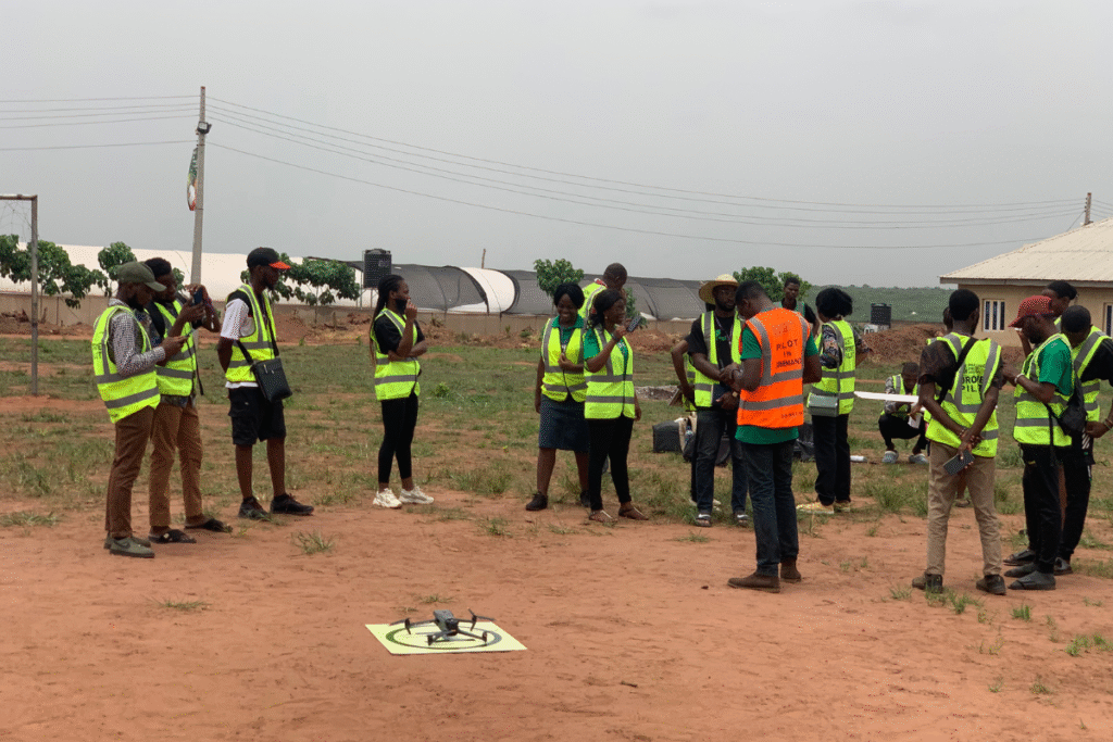
At Precision Field Academy, we offer hands-on, career-focused training programs designed to launch your drone career and help you deliver real value in the field. Whether you’re looking to map farmland, monitor crop health, or provide aerial spraying services, our certification tracks give you the skills, tools, and confidence to succeed.
Each course combines global-standard instruction with real African farming scenarios—so you’re not just learning to fly, you’re learning to lead.
All programs include:
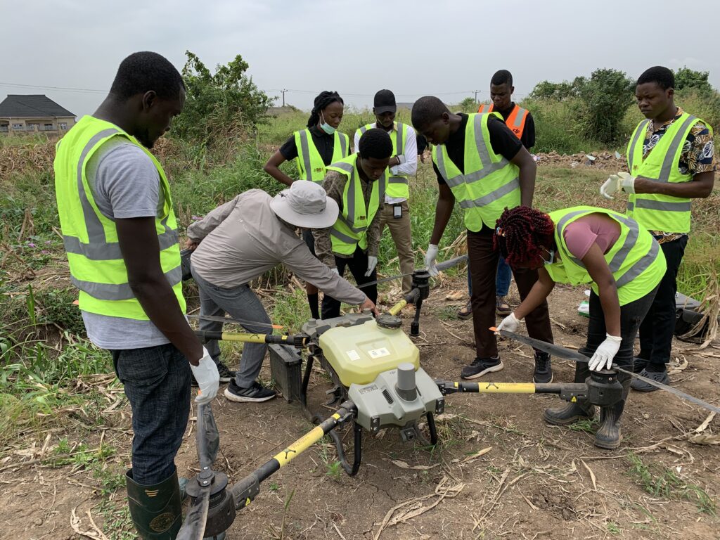
Instructor-led training (in-person or hybrid)
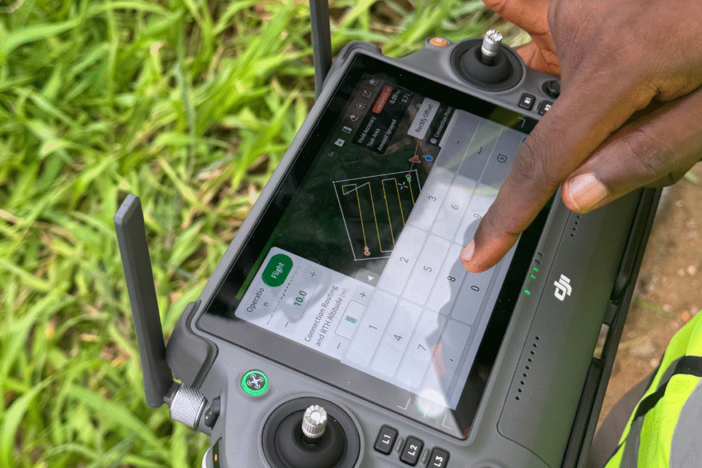
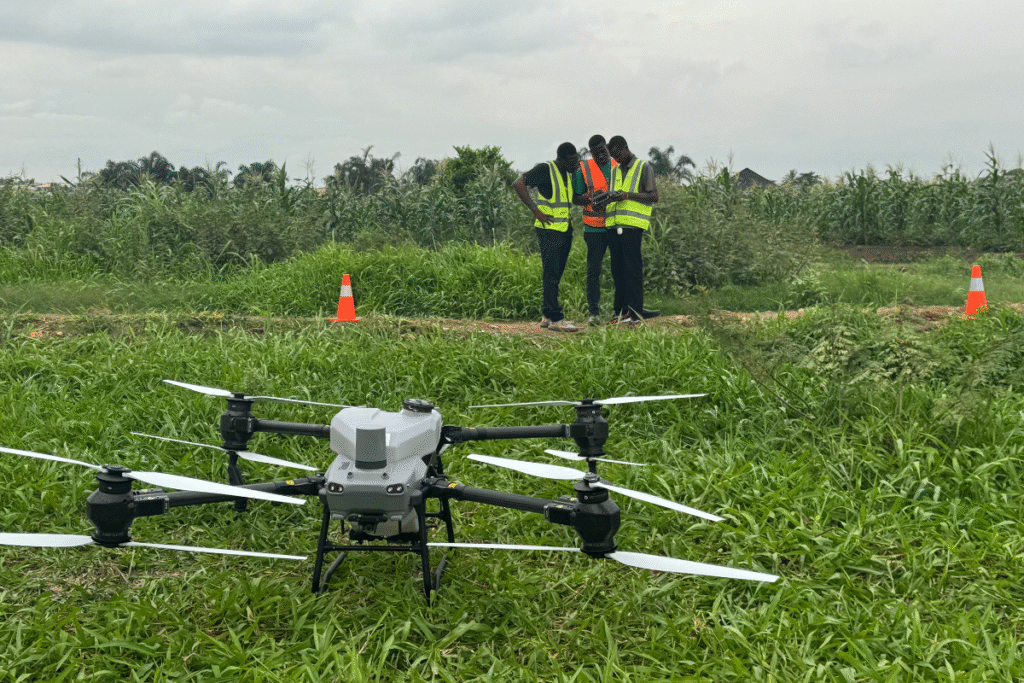
Access to equipment and simulation tools
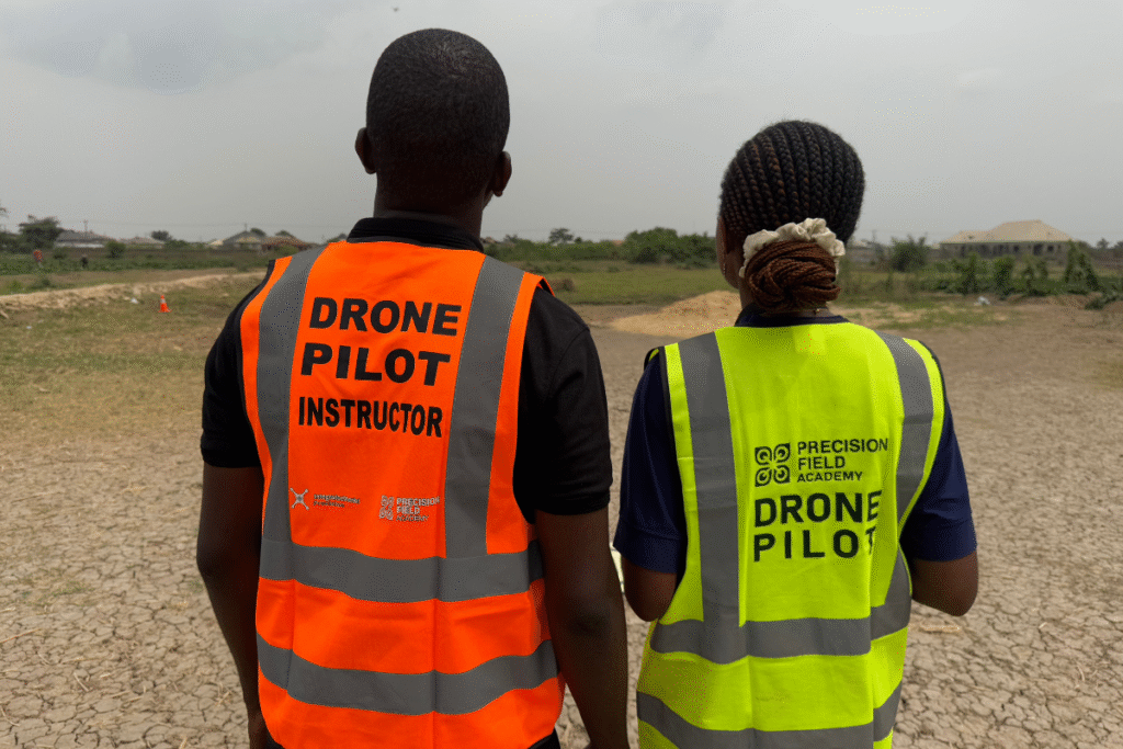
Career support and official certification
Training & Certification Tracks
Each of these is structured to give you the skills you need to work, consult, or build a business using drones in agriculture.
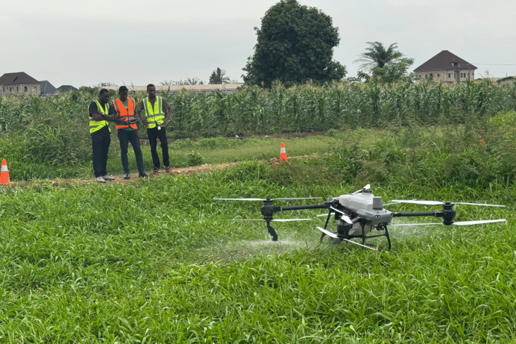
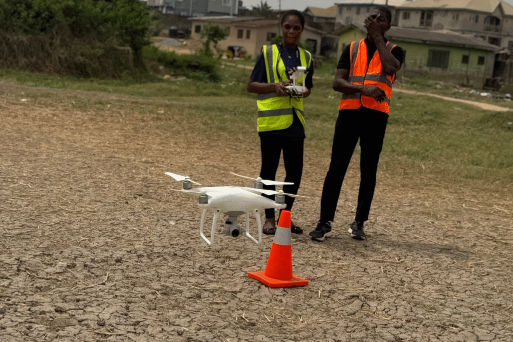
Basic Drone Pilot Competency Course for Precision Agriculture
Equips participants with essential skills for modern farming:
Drone piloting for agriculture
Farm surveillance and yield optimization
Regulatory compliance
Who is this for: Licensed drone pilots, agritech professionals, farm owners